Lab 3
By: Melissa Hackenmueller
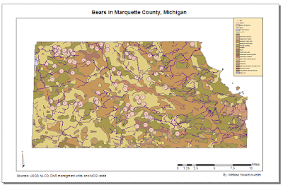
The goal of this lab was to find suitable habitat for the bears in Marquette County, Michigan using geoprocessing tool and vector analysis. The GPS location of bears within Marquette County was taken and then the data was analyzed. The most common habitat and streams were used to determine the best place to be set aside for bear habitat.
To start off the top three most common habitats for the bears were found. Thirty bears were found in habitat classified as mixed forest land. Another sixteen were found in forested wetlands and the third most common habitat is evergreen forest land. Thirteen bears were located in evergreen forest land. Biologists know that bears may stay by streams for fish and water; therefore, bears within 500 meters of a stream were found. Joining, buffering, and overlay tools were used next to determine where the habitats and streams matched up.
The results are that their are only a few places that meet this criteria of away from populous places but streams and mixed forests are needed. The map below show the results.
Sources: State of Michigan Open GIS data. The link is http://gis.michigan.opendata.arcgis.com/


No comments:
Post a Comment